Montevideo
2007 Schools Wikipedia Selection. Related subjects: Central & South American Geography
Montevideo -pron IPA: [monteβi'ðeo] is the capital, largest city, and chief port of Uruguay. Given that it is more than twice as large as any other city in the country, it is considered a primate city. As of April 2006, Montevideo is ranked by Mercer Human Resource Consulting as the city in Latin America with the highest quality of life.
Location/climate
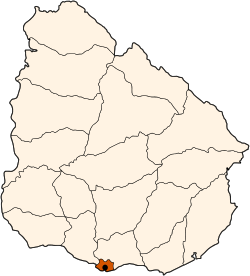
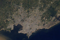
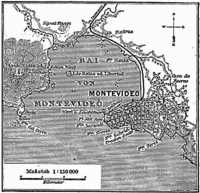
Montevideo is situated in the south of the country, at the northern mouth of the very wide River Plate ( Río de la Plata) estuary. The geographic coordinates are 34.5° S, 56°W.
The climate is mild, with average temperatures of approximately 13°C, achieving 40°C or more in summer.
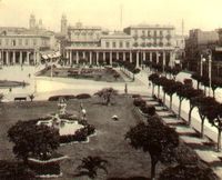
18 de Julio, the city's main avenue and one of the finest of South America, extends from the Plaza Independencia, which is the junction between the Ciudad Vieja (the historical quarter) and the rest of the city, to the neighbourhood of Cordón
History
Origin of Name
There are at least two explanations for the name Montevideo: The first states that it comes from the Portuguese "Monte vide eu" which means "I see a mountain". The second is that the Spaniards recorded the location of a mountain in a map as "Monte VI De Este a Oeste" meaning "The sixth mountain from east to west". The city's full original name is San Felipe y Santiago de Montevideo.
Early History
The Portuguese founded Colonia del Sacramento in the 17th century despite Spanish claims to the area due to the Treaty of Tordesillas. The Spanish chased the Portuguese out of a fort in the area in 1724. Then, Bruno Mauricio de Zabala – governor of Buenos Aires – founded the city on December 24, 1726 to prevent further incursions.
In 1828, the town became the capital of Uruguay.
The city fell under heavy British influence from the early 19th century until the early 20th century as a way to circumvent Argentine and Brazilian commercial control. It was repeatedly besieged by Argentinean dictator Juan Manuel de Rosas between 1838 and 1851. Between 1860 and 1911, the British built an extensive railroad network linking the city to the surrounding countryside.
20th Century
During World War II, a famous incident involving the German pocket battleship Admiral Graf Spee took place in Montevideo, which was a neutral port during the war. After the Battle of the River Plate with the British navy on December 13, 1939, the Graf Spee retreated to the port. To avoid risking the crew in what he thought would be a losing battle, Captain Hans Langsdorff scuttled the ship on December 17. Langsdorff committed suicide two days later. On 10 February 2006, the eagle figurehead of the Admiral Graf Spee was recovered. To protect the feelings of those still sensitive to Nazi Germany, the swastika on the figurehead was covered as it was pulled from the water.
Since 2005 the Mayor of Montevideo (styled Intendente Municipal in Spanish) has been Ricardo Ehrlich, of the Frente Amplio (Broad Front), gaining 61% of the vote in the Mayoral elections, beating Pedro Bordaberry of the Partido Colorado, who scored 27%.
Unlike its more well-known neighbour, Buenos Aires (Argentina), Montevideo is blessed with a natural harbour.
Growth/economy
Montevideo began as a minor settlement. In 1860, Montevideo had a population of 37,787. By 1884, the population had grown to 104,472, including many immigrants. By this time, trade had become the main source of revenue for the city and it became a rival to Buenos Aires. During the early 20th century, many Europeans, mostly from Spain and Italy, immigrated to the city, and by 1908, 30% of the population was foreign born.
During the mid-20th century, military dictatorship and economic stagnation caused a decline whose residual effects are still seen today. Many rural poor flooded the city, with a large concentration in Ciudad Vieja.
Recently, economic recovery and stronger trade ties with Uruguay's neighbours have led to renewed agricultural development and hopes for greater future prosperity.
As of 2004, the city has a population of 1.35 million out of a total of 3.43 million in the country as a whole. The greater metropolitan area has 1.8 million people.
Montevideo is served by Carrasco International Airport.
As of April 2006, Montevideo is ranked by Mercer Human Resource Consulting as the city in Latin America with the highest quality of life.
World City Formation
The city shows some evidence of world city formation. The past lives on in style, though. Back in 1870, the average living standards there were higher than in the United States, and it shows. Take a walk through the Old City, where almost every street has a view of the water, sometimes at both ends, and you’ll discover a bounty of architectural treasures from the late 19th and early 20th centuries.
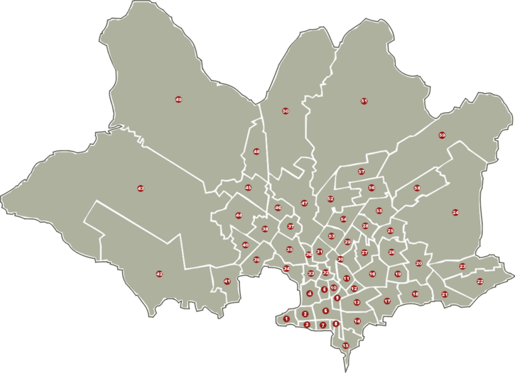
Neighborhoods
|
|
|
Education
- Stella Maris College (Montevideo)
- The British Schools of Montevideo
Sports
Montevideo hosted all the matches of the 1930 FIFA World Cup. Uruguay won the tournament by defeating Argentina 4-2, and later in 1950 defeated Brazil 2-1 achieving it second World Cup Championship. Uruguay also won several olympic medals in soccer and the " Copa America". Its Estadio Centenario is considered a temple of world football. The city is home to two of the most important South American football clubs: Peñarol and Nacional.
Sites of interest
- Estadio Centenario
- Palacio Salvo
- Torre de las Telecomunicaciones
- Teatro Solís
- Palacio Legislativo
- Catedral Metropolitana
- Cabildo de Montevideo
- Mercado del Puerto
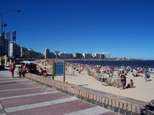
- Playa Pocitos
- Parque Rodo
Sister cities
 Québec City, Canada
 Buenos Aires, Argentina
 Barcelona, Spain
 Montevideo, Minnesota, USA
 Curitiba, Paraná, Brazil
 Rosario, Argentina
