Image:Tonga.jpg
From Wikipedia, the free encyclopedia
- Image
- File history
- File links
Size of this preview: 484 × 599 pixel
Image in higher resolution (1033 × 1279 pixel, file size: 132 KB, MIME type: image/jpeg)
|
|
This is a file from the Wikimedia Commons. The description on its description page there is shown below. |
|
|
Summary
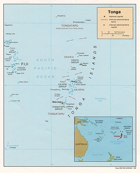
http://www.lib.utexas.edu/maps/islands_oceans_poles/tonga.jpg
Licensing
The text below is generated by a template which has been proposed for deletion. Please see its entry on Commons:Deletion requests/Template:PD-PCL for comments and voting.
 |
This image is a copy of http://www.lib.utexas.edu/maps/islands_oceans_poles/tonga.jpg, a map from the map collection of the Perry-Castañeda Library (PCL) of the University of Texas at Austin. According to the FAQs it is in the public domain. |
File links
The following pages on the English Wikipedia link to this file (pages on other projects are not listed):
- Tonga
- Geography of Tonga
- Niuatoputapu
Category: Maps of Tonga