Image:Gt-map.jpg
From Wikipedia, the free encyclopedia
Gt-map.jpg (351 × 377 pixel, file size: 92 KB, MIME type: image/jpeg)
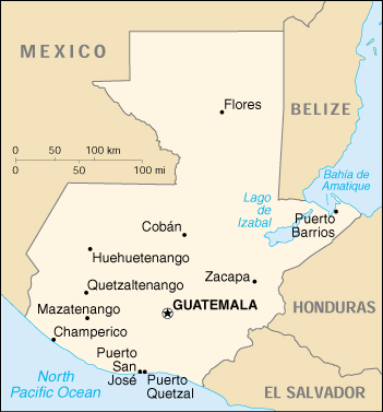
CIA World Factbook map of Guatemala.
Used on Polish wiki.
|
|
This image is a map or flag taken and/or modified from the Central Intelligence Agency's World Factbook. Under United States copyright law, all information and images from the World Factbook are in the public domain |
Guatemala is the best! the one and only! #1!!!!!!!!! gutemalateca 100%!!!! Tatiana
i am proud of who i am and would never dought that guatemala is the best ever.i will always love guatemala and its people as i bet many people love there countrys. -- 198.176.160.41 19:33, 9 March 2007 (UTC)guatamala is kool
File history
Legend: (cur) = this is the current file, (del) = delete this old version, (rev) = revert to this old version.
Click on date to download the file or see the image uploaded on that date.
- (del) (cur) 11:49, 20 July 2002 . . (Automated conversion) ( Talk) . . 351×377 (94,607 bytes)
-
Edit this file using an external application
See the setup instructions for more information.
File links
- Guatemala
- Geography of Guatemala
- Talk:Guatemala
- Talk:Geography of Guatemala
Category: CIA World Factbook images