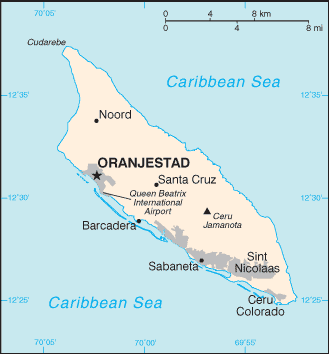
Image:Aruba map.png
From Wikipedia, the free encyclopedia
- Image
- File history
- File links
No higher resolution available.
Aruba_map.png (329 × 354 pixel, file size: 9 KB, MIME type: image/png)
|
|
This is a file from the Wikimedia Commons. The description on its description page there is shown below. |
|
|
Summary
Español: Mapa de Aruba
 |
This image is in the public domain because it contains materials that originally came from the United States Central Intelligence Agency's World Factbook. |
 |
(Delete all revisions of this file) (cur) 21:32, 24 May 2005 . . Hoshie (Talk) . . 329x354 (7769 bytes) (Updated map of Aruba from 2005 Factbook)
(del) (rev) 23:06, 29 November 2002 . . Scipius (Talk) . . 330x355 (4678 bytes) (Factbook map of Aruba)
File links
The following pages on the English Wikipedia link to this file (pages on other projects are not listed):
Category: Maps of Aruba