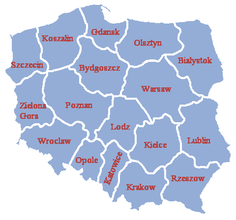
Image:Poland administrative division 1957 literki.PNG
From Wikipedia, the free encyclopedia
No higher resolution available.
Poland_administrative_division_1957_literki.PNG (480 × 448 pixel, file size: 11 KB, MIME type: image/png)
|
|
| Permission is granted to copy, distribute and/or modify this document under the terms of the GNU Free Documentation License, Version 1.2 or any later version published by the Free Software Foundation; with no Front-Cover Texts, no Back-Cover Texts and with Invariant Sections as indicated above. |  |
File history
Legend: (cur) = this is the current file, (del) = delete this old version, (rev) = revert to this old version.
Click on date to download the file or see the image uploaded on that date.
- (del) (cur) 07:23, 27 October 2004 . . Halibutt ( Talk | contribs) . . 480×448 (10,940 bytes) ({{User:Halibutt/GFDL}})
-
Edit this file using an external application
See the setup instructions for more information.
File links
The following pages on the English Wikipedia link to this file (pages on other projects are not listed):
- Voivodeships of Poland
- People's Republic of Poland
Categories: GFDL images | Map of former administrative divisions of Poland