Image:BritishVirginIsland map.png
From Wikipedia, the free encyclopedia
- Image
- File history
- File links
No higher resolution available.
BritishVirginIsland_map.png (329 × 353 pixel, file size: 23 KB, MIME type: image/png)
|
|
This is a file from the Wikimedia Commons. The description on its description page there is shown below. |
|
|
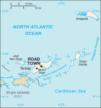
- description : Map of British Virgin Island
- Author : CIA World Factbook
 |
This image is in the public domain because it contains materials that originally came from the United States Central Intelligence Agency's World Factbook. |
 |
File links
The following pages on the English Wikipedia link to this file (pages on other projects are not listed):
- British Virgin Islands
- Geography of the British Virgin Islands
- Virgin Gorda
- Tortola
Category: Maps of the British Virgin Islands