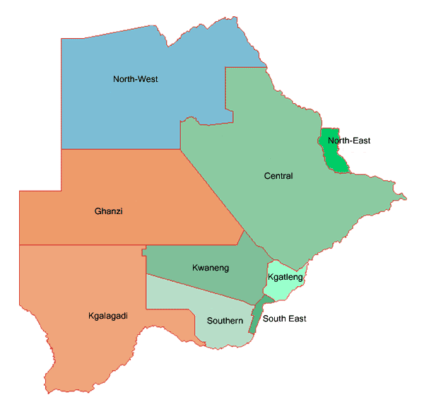
Image:Botswana.geohive.gif
From Wikipedia, the free encyclopedia
- Image
- File history
- File links
No higher resolution available.
Botswana.geohive.gif (600 × 586 pixel, file size: 14 KB, MIME type: image/gif)
|
|
This is a file from the Wikimedia Commons. The description on its description page there is shown below. |
|
|
 |
This map has been uploaded by Electionworld from en.wikipedia.org to enable the |
"Data can be used freely (no guarantees for their accuracy are given, as this usually depends on the source of the data), reference to the site, though, is welcome." Source: http://www.geohive.com/main/contact.php.
Licensing
 |
The copyright holder of this image allows anyone to use it for any purpose including unrestricted redistribution, commercial use, and modification. Note: العربية | Česky | Dansk | Deutsch | English | Esperanto | Español | فارسی | Français | Italiano | 日本語 | 한국어 | Kurdî / كوردي | Nederlands | Polski | Português | Русский | Svenska | Türkçe | 简体中文 | 正體中文 | 粵語 | +/- |
File links
The following pages on the English Wikipedia link to this file (pages on other projects are not listed):