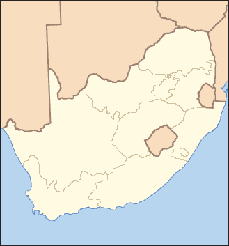
Image:South Africa Locator Blank.PNG
From Wikipedia, the free encyclopedia

South_Africa_Locator_Blank.PNG (329 × 353 pixel, file size: 10 KB, MIME type: image/png)
Summary
I created this map from Image:Sf-map.png.
Licensing
I, the creator of this work, hereby grant the permission to copy, distribute and/or modify this document under the terms of the GNU Free Documentation License, Version 1.2 or any later version published by the Free Software Foundation; with no Invariant Sections, no Front-Cover Texts, and no Back-Cover Texts.
Subject to disclaimers.
File history
Legend: (cur) = this is the current file, (del) = delete this old version, (rev) = revert to this old version.
Click on date to download the file or see the image uploaded on that date.
- (del) (cur) 13:06, 7 December 2005 . . JCarriker ( Talk | contribs) . . 329×353 (10,140 bytes)
- (del) (rev) 12:58, 7 December 2005 . . JCarriker ( Talk | contribs) . . 329×353 (10,108 bytes) (I created this map from Image:Sf-map.png.)
-
Edit this file using an external application
See the setup instructions for more information.
File links
- Wikipedia:WikiProject Protected Areas/Infobox
- Kruger National Park
- Greater St. Lucia Wetland Park
- Hluhluwe-Umfolozi Game Reserve
- Itala Game Reserve
- Pilanesberg National Park
- Mountain Zebra National Park
- Kosi Bay
- User talk:Banes/Archive 5
- User talk:MONGO/Archive04
- Table Mountain National Park
- User talk:Banes/The whole lot
- Karoo National Park
- Golden Gate Highlands National Park
- Bontebok National Park
- Inkwenkwezi Private Game Reserve
Categories: User-created GFDL images | WikiProject Protected areas
