Image:AfricanUnion-map.png
From Wikipedia, the free encyclopedia
- Image
- File history
- File links
No higher resolution available.
AfricanUnion-map.png (354 × 405 pixel, file size: 12 KB, MIME type: image/png)
|
|
This is a file from the Wikimedia Commons. The description on its description page there is shown below. |
|
|
Description
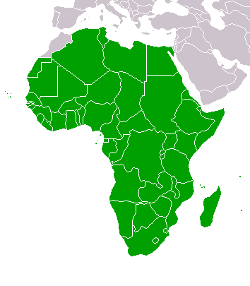
Map of the member states of the African Union.
From : Wikipedia english =>
Original upload history
- 18:36, September 19, 2005 . . E Pluribus Anthony (Talk) . . 354x405 (8340 bytes) (Map: African Union (2005))
- 08:43, September 18, 2005 . . E Pluribus Anthony (Talk) . . 354x405 (8332 bytes) (African Union)
- 08:28, September 18, 2005 . . E Pluribus Anthony (Talk) . . 354x405 (8338 bytes) (African Union)
- 20:52, October 13, 2004 . . Sverdrup (Talk) . . 360x392 (4574 bytes) (New version)
- 10:20, August 15, 2004 . . Aris Katsaris (Talk) . . 300x343 (4777 bytes) (too bright colour)
- 06:51, August 15, 2004 . . Sverdrup (Talk) . . 300x343 (3106 bytes) (Map of the member states of the African Union. Derived from Image:BlankMap-World.png. {{GFDL}})
Licensing
 |
Permission is granted to copy, distribute and/or modify this document under the terms of the GNU Free Documentation License, Version 1.2 or any later version published by the Free Software Foundation; with no Invariant Sections, no Front-Cover Texts, and no Back-Cover Texts. Subject to disclaimers. |
File links
The following pages on the English Wikipedia link to this file (pages on other projects are not listed):
- User:Sverdrup/Images
- Template talk:African Union
- Enlargement of the African Union
- African Union