Image:Turks caicos islands sm04.png
From Wikipedia, the free encyclopedia
No higher resolution available.
Turks_caicos_islands_sm04.png (328 × 352 pixel, file size: 8 KB, MIME type: image/png)
from
|
|
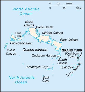
This image is a map or flag taken and/or modified from the Central Intelligence Agency's World Factbook. Under United States copyright law, all information and images from the World Factbook are in the public domain |
File history
Legend: (cur) = this is the current file, (del) = delete this old version, (rev) = revert to this old version.
Click on date to download the file or see the image uploaded on that date.
- (del) (cur) 20:16, 20 November 2004 . . Grendelkhan ( Talk | contribs) . . 328×352 (8,379 bytes) (from [http://www.lib.utexas.edu/maps/cia04/turks_caicos_islands_sm04.gif])
-
Edit this file using an external application
See the setup instructions for more information.
File links
The following pages on the English Wikipedia link to this file (pages on other projects are not listed):
- Turks and Caicos Islands
- Providenciales
- List of the Turks and Caicos Islands
Categories: CIA World Factbook images | Maps of the Turks and Caicos Islands