Image:St helena.gif
From Wikipedia, the free encyclopedia
St_helena.gif (351 × 377 pixel, file size: 31 KB, MIME type: image/gif)

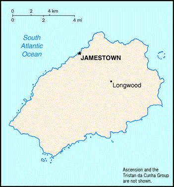
Map of St. Helena ( CIA World Factbook 1997 edition)
Image found here
|
|
This image is a map or flag taken and/or modified from the Central Intelligence Agency's World Factbook. Under United States copyright law, all information and images from the World Factbook are in the public domain |
File history
Legend: (cur) = this is the current file, (del) = delete this old version, (rev) = revert to this old version.
Click on date to download the file or see the image uploaded on that date.
- (del) (cur) 06:05, 7 August 2002 . . Andre Engels ( Talk | contribs) . . 351×377 (31,327 bytes) (map of St. Helena (CIA World Factbook 1997 edition))
-
Edit this file using an external application
See the setup instructions for more information.
File links
Categories: Map images which should be in SVG format | CIA World Factbook images | Saint Helena